LOCATION & GEOGRAPHY
Cameroon is located in West Africa with a coastline on the Atlantic Ocean and a
triangular shape wedged between West and Central Africa. The country has
borders with the Central African Republic in the East, Chad in the North-east,
Nigeria in the North, Republic of the Congo in the South-east, and Equatorial
Guinea and Gabon in the South. Meadows and pastures take up a limited land
area while forests and woodlands cover more than half of the country. The land
is diverse with coastal plains in the South-west, dissected plateau in the central
region, mountains in the West and plains in the North. The low coastal plains in
the South are covered with equatorial rain forests extending to the river
Sanaga. Mount Cameroon is the highest summit in sub-Saharan West Africa.
The climate is tropical along the coast and semiarid and hot in the North. It
varies depending on the terrain
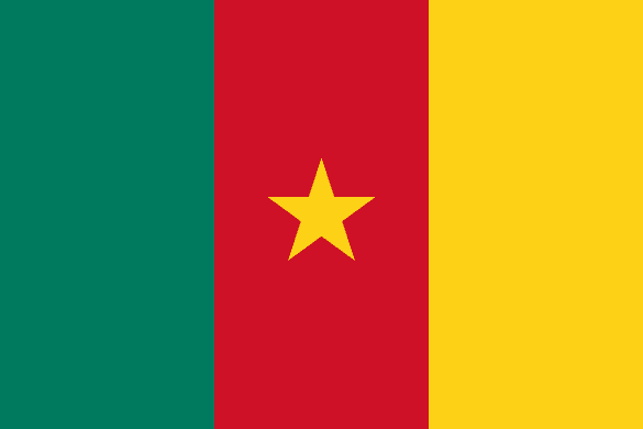
The Republic of Cameroon

Language
English – French

Currency
Central African CFA Franc (XAF)
GDP
38.760 Billion USD (2019)

Exports (Product)
$5.21B (2019)

Exports (Service)
$2.12B (2018)

Imports (Product)
$6.07B (2019)

Chambers Names
Cameroon Chamber of Commerce, Industry, Mines and Handicrafts

Capital
Yaoundé
Total Area
475,442 km2

Imports (Service)
$2.7B (2018)
Population in thousands
26,545,864 (2020)

Source of Data
OEC – World Bank – Wikipedia


