LOCATION & GEOGRAPHY
Egypt is located at the North-east corner of Africa and the South-west corner of Asia. It is bordered by Libya and Sudan in the West and South respectively, the Mediterranean, the Gulf of Suez, the Gulf of Aqaba, and the Red Sea. Most of the country is part of the band of desert stretching from the Atlantic coast of Africa to the Middle East. Its unusual geological history has produced four major regions: the Nile River, the Western Desert, the Eastern Desert, and the Sinai Peninsula. Arable land is limited. The River Nile is the main resource of the country serving as waterway and source of irrigation. The climate is uniformly arid with hot dry summers and moderate winters. Rainfall occurs mostly in winter.

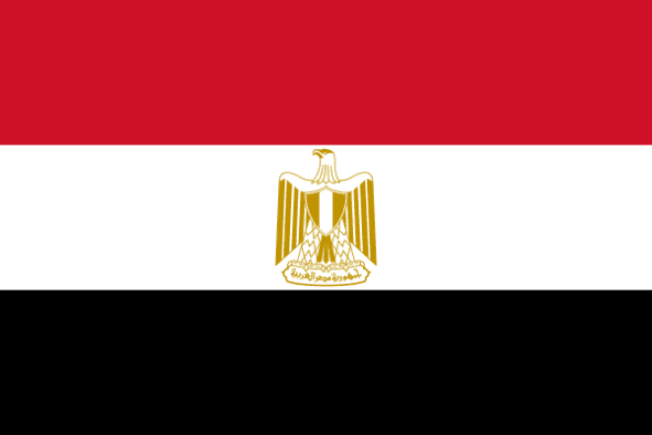
The Arab Republic Of Egypt

Language
Arabic

Currency
Egyptian Pound (EGP)

GDP
303.175 Billion USD (2019)

Exports (Product)
$36.7B (2019)

Exports (Service)
$17.7B (2015)

Imports (Product)
$82.5B (2019)

Chambers Names
General Federation of Egyptian Chambers of Commerce

Capital
Cairo

Total Area
1,010,408 km2

Imports (Service)
$13.8B (2015)


